|
|
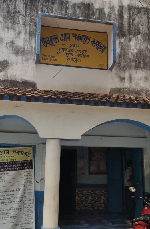
Office Full AddressVILL:-NOAPARA. POST:-NOAPARA-MAHADWIPA.P.S:- MAYURESWAR. DIST-BIRBHUM. PIN-731234. WEST BENGAL. About Gram Panchayat'ULKUNDA GRAM PANCHAYAT' always deserves to be co-operating, helpful, and trustworthy for giving better service for making overall upliftment of overall development of good common people alongwith their sensible works. According to Census 2011 information the location code or village code of Ulkunda village is 316700. Ulkunda village is located in Mayureswar Ii subdivision of Birbhum district in West Bengal, India. It is situated 10.7km away from sub-district headquarter Kotasur (tehsildar office) and 38.1km away from district headquarter Suri. As per 2009 stats, Ulkunda village is also a gram panchayat. The total geographical area of village is 148.12 hectares. Ulkunda has a total population of 2,704 peoples, out of which male population is 1,386 while female population is 1,318. Literacy rate of ulkunda village is 60.58% out of which 67.24% males and 53.57% females are literate. There are about 661 houses in ulkunda village. Pincode of ulkunda village locality is 731234. Sainthia is nearest town to ulkunda for all major economic activities, which is approximately 10km away. GP Name: ULKUNDA Block Name: Mayureswar - II
GP Name: ULKUNDA Block Name: Mayureswar - IISelect Samiti:
GP Name: ULKUNDA Block Name: Mayureswar - II
GP Reports
|


